
Monsaraz crew uses CleverHive software to manage space rover mission simulation
The test in Monsaraz, Portugal was a key experiment within the World’s Biggest Analog campaign that involved 16 analog habitats across five continents.


The World’s Biggest Analog (WBA) is an unprecedented international effort, uniting 16 analog habitats across five continents - from deserts to polar regions. From October 13-26, these habitats conducted the first-ever simultaneous global space simulation, preparing teams for the challenges of living and working in space.
For the Monsaraz Mars Analog Mission crew in Portugal, these two weeks were filled with diverse scientific experiments and technology demonstrations. As one of the main experiments, the habitat crew conducted a remote geological survey of the unknown terrain, using a Leo Rover robot and managing the mission using the mission control software from CleverHive - developed as part of its incubation at ESA BIC Poland.
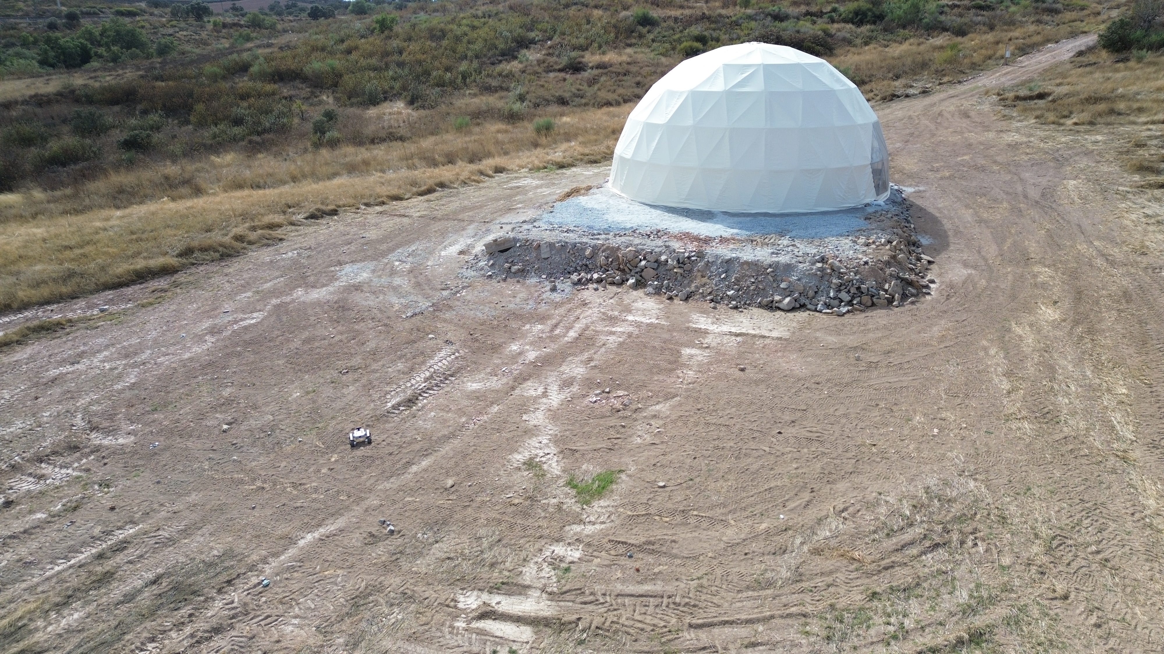
Photo: Ana Pires
Addressing the mission coordination challenge
Coordination between operators remains one of the main bottlenecks in leveraging mobile robots in complex, unpredictable environments - such as lunar rover missions. With multiple specialists involved, an overwhelming amount of data to analyze, and a persistent lack of clear situational awareness of the robot’s surroundings, making the right decisions and avoiding communicational chaos can be a major hurdle.
CleverHive develops advanced mission control software designed specifically for this problem. Our platform provides mission teams with an integrated data visualization, collaborative digital copy of the terrain, and real-time decision support for mobile robot operations. The Monsaraz Mission was an excellent opportunity to validate the software’s performance and its influence on mission outcomes in a high-fidelity simulation.
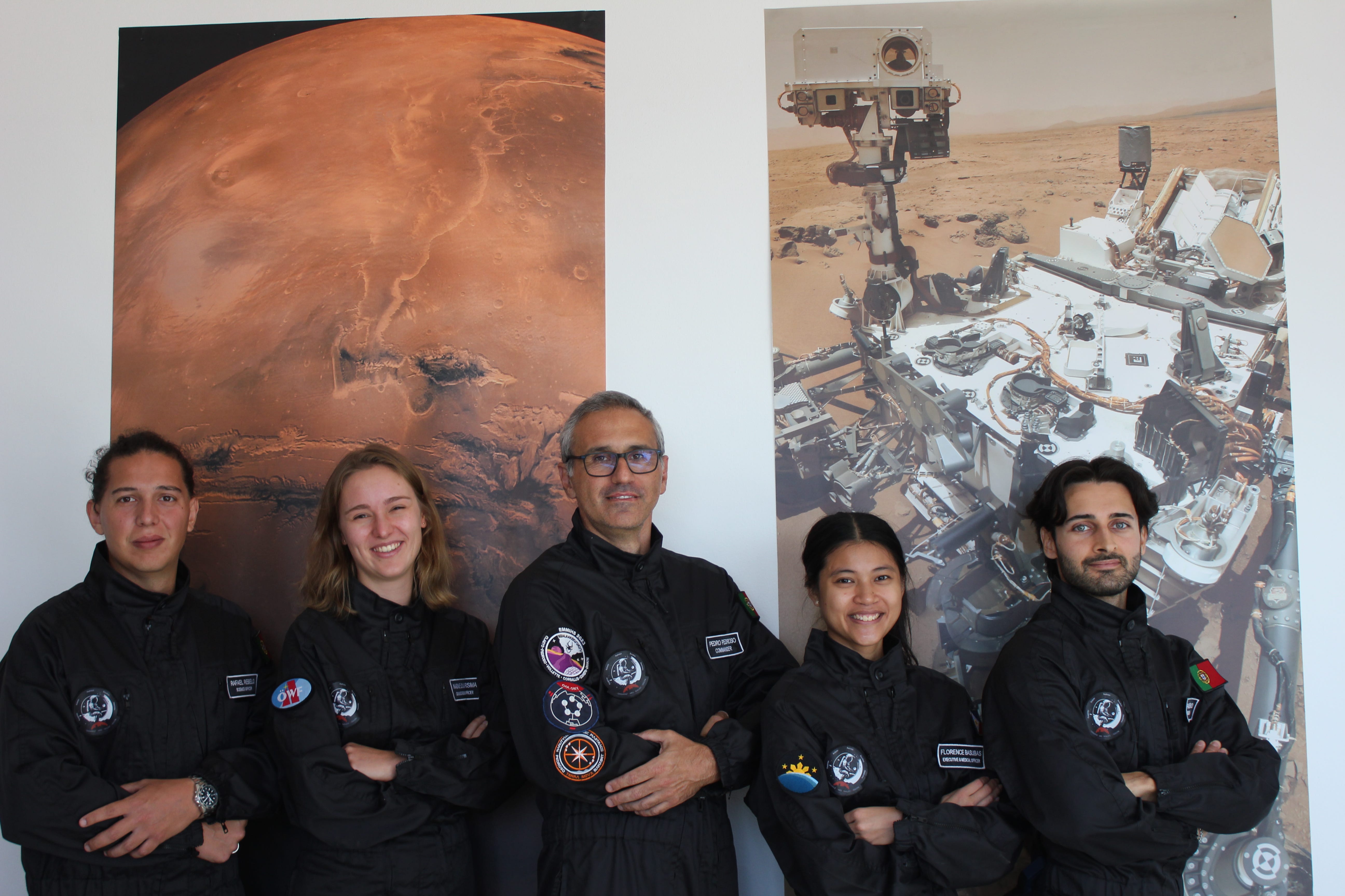
Photo: Luis F Costa
The demonstration was made possible by Leo Rover from fictionlab. This robot works out of the box, which allowed us to focus on building upon a reliable platform, without needing to reinvent the wheel. Its open-source, ROS based nature and weatherproofness made it perfect for a use case like this. We highly recommend you check it out here.
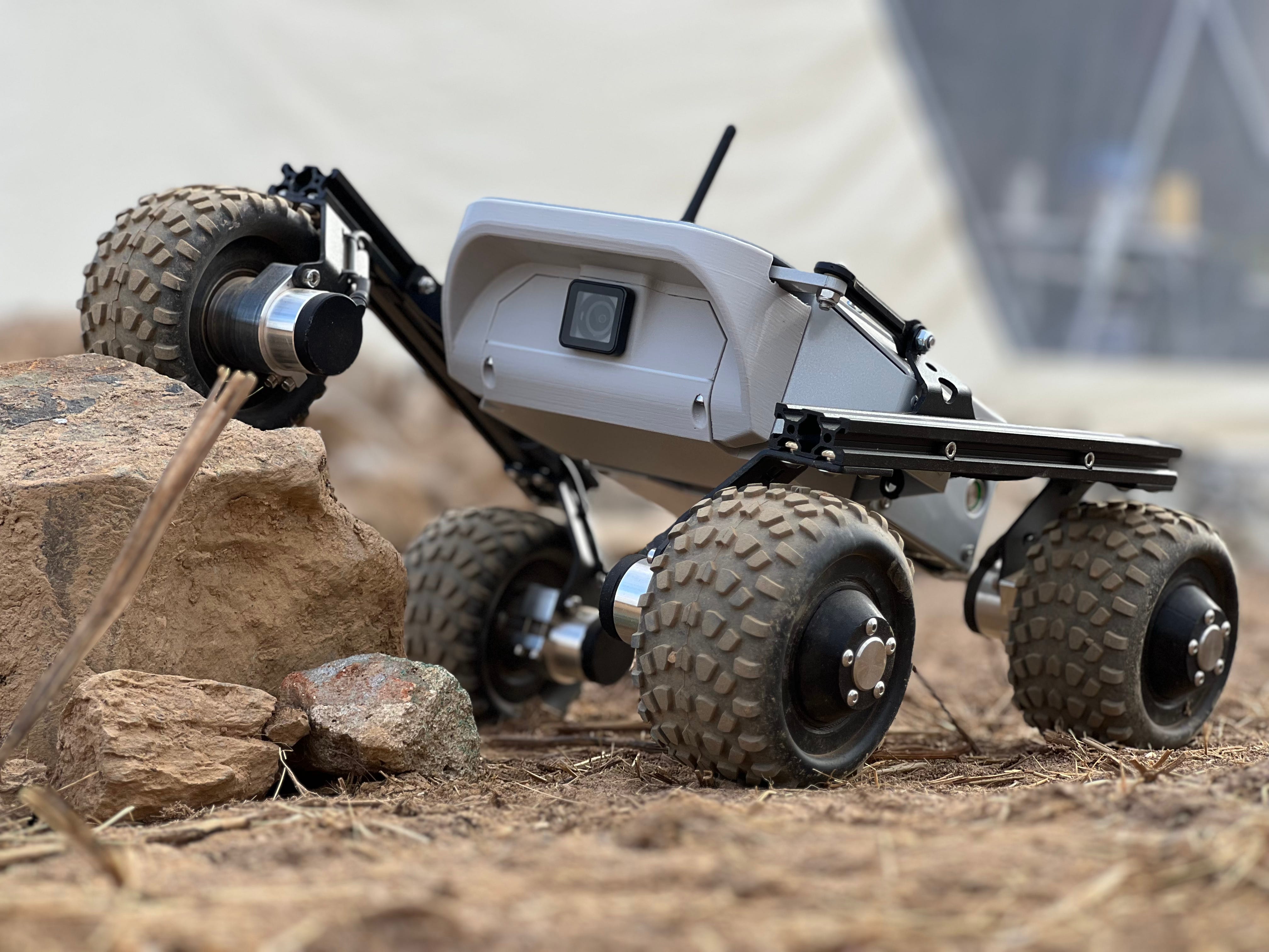
Photo: Szymon Bednorz
The rover mission scenario
The mission tasked the analog astronauts with a complex geological survey. The Leo Rover was pre-deployed in the designated area in the outdoor terrain of Alqueva Lake Observatory (OLA). The crew situated inside the habitat had to remotely survey the area, locate visual indicators for high-value minerals and identify an optimal site for a long-term geophysical monitoring station.
The mission was executed in two 60-minute phases with a critical handover in between. The crew was split into two subteams and consisted of space geologist Rafael Rebelo, space geology specialist Florence Basubas, robotics engineers Diogo Paupério and Nadine Duursma, and mission commander Pedro Pedroso.
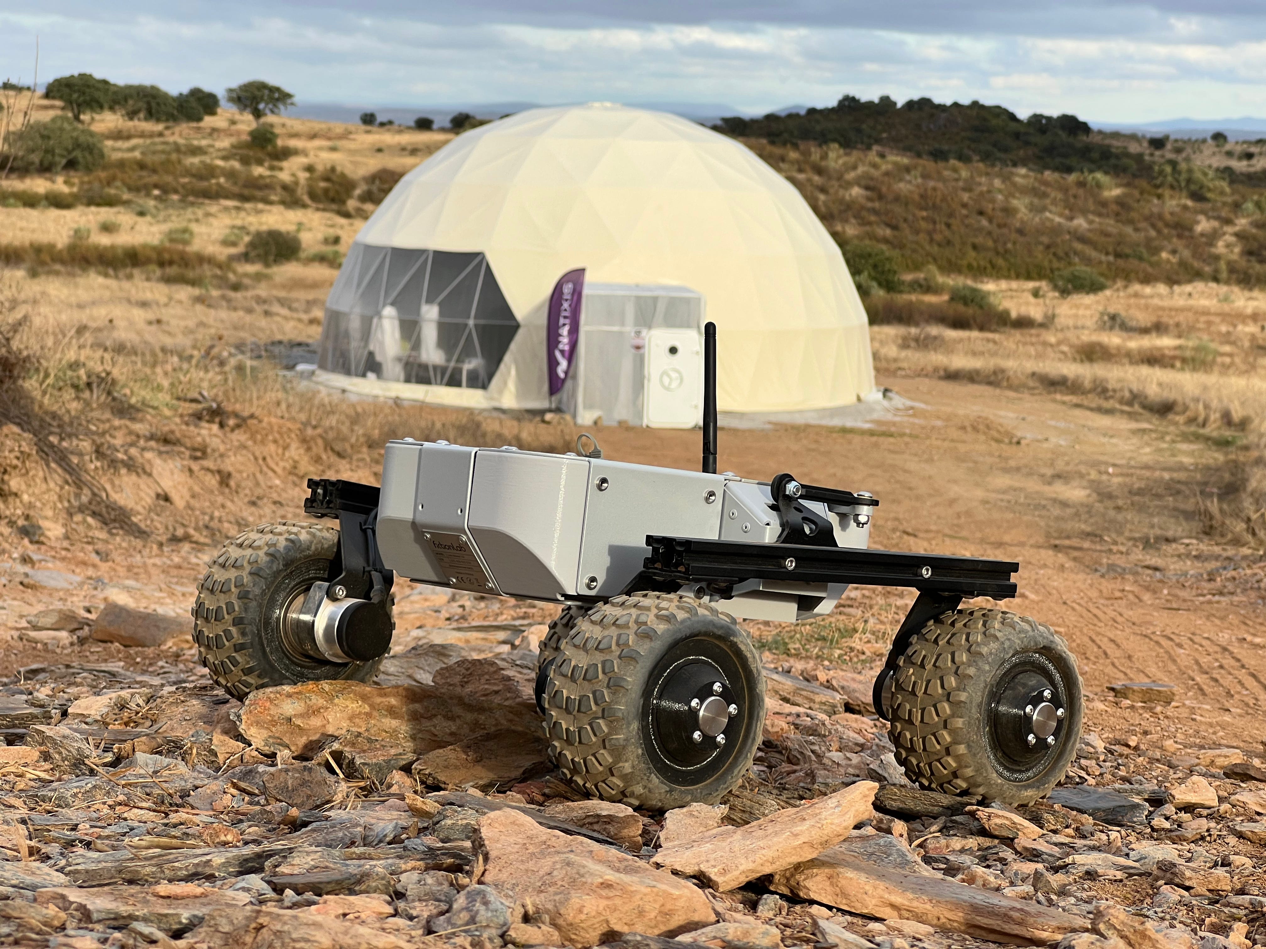
Photo: Szymon Bednorz
The first subteam was responsible for the initial exploration, classifying mineral indicators and proposing potential sites for a geophysical station along with priority tasks for the second phase. Following a data transfer, the second subteam took over to conduct a detailed investigation of the shortlisted locations, taking into account additional requirements from the mission control, and ultimately selecting the final, justified site for the geophysical station.
Crew feedback and key mission takeaways
Despite significant operational challenges, including signal latency and time pressure, the analog crew successfully completed the missions and achieved the primary objective. The team identified and documented over 20 distinct geological points of interest and designated a final site for the geophysical station. The selected locations met the strict criteria, balancing the practical engineering requirements (a flat, unobstructed space) with the scientific priorities (proximity to specific mineral deposits, designated by Mission Control in the second phase of the mission).
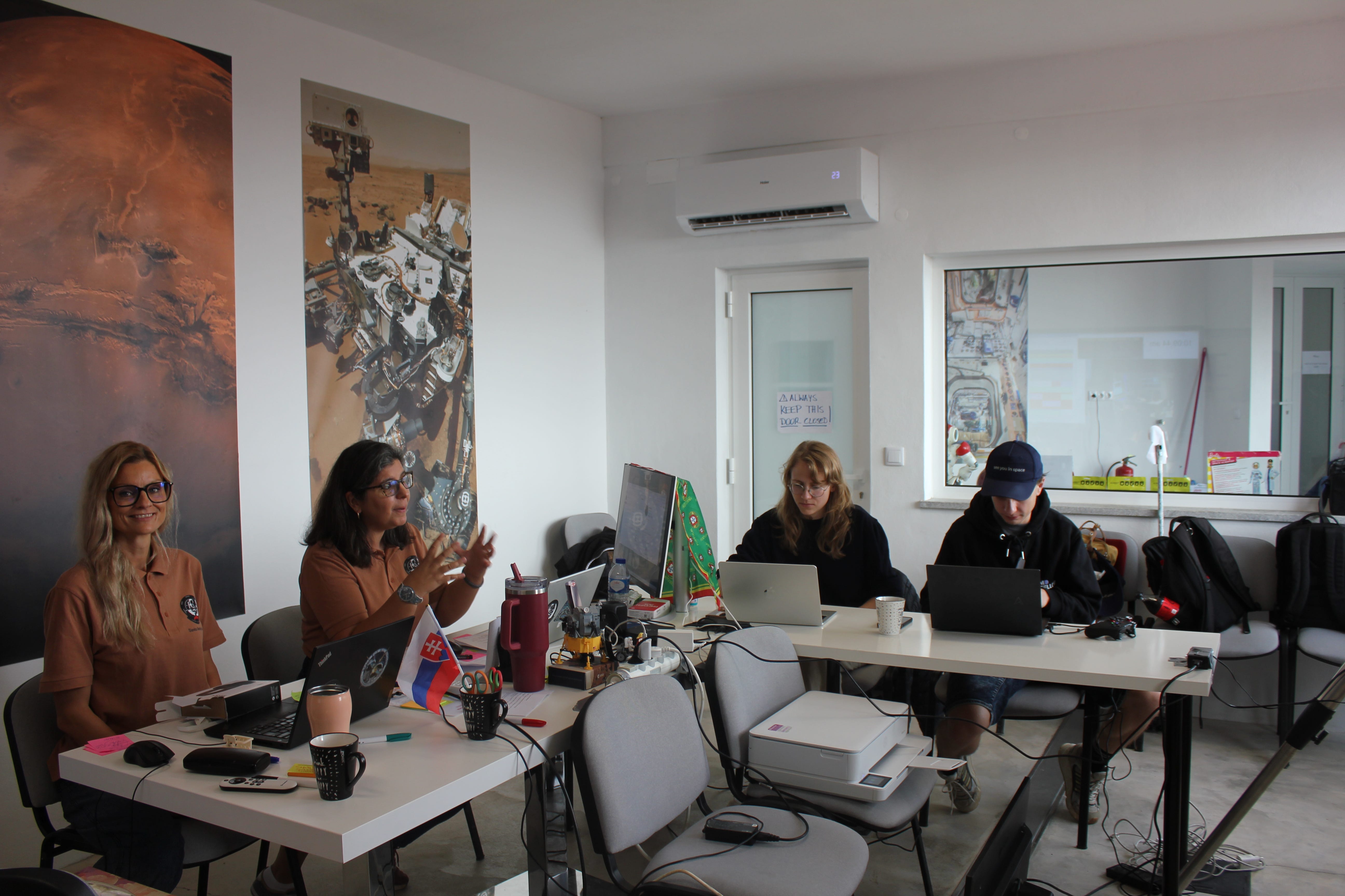
Photo: Luis F Costa
Post-mission analysis provided critical insights into the crew’s workload and challenges. Participants reported that the most mentally demanding tasks included not just operating the rover, but also communicating with teammates and drafting action plans. A key challenge was synthesizing the “bigger picture” - that is, understanding the overall mission terrain and the specific mineral locations. This synthesis was crucial for the mission success, as it directly influenced their decisions on which places to investigate further and, ultimately, their selection of the final site for the geophysical station.
The Monsaraz analog mission allowed CleverHive to observe an operational team using its mission control software under realistic constraints. The results validate that the platform addresses mission-critical needs for robotic operations, while also identifying key areas for future improvements.
The Monsaraz Mars Analog Mission took place from October 13 to 25, in the outdoor area of the Alqueva Lake Observatory (OLA). The scientific and technological leadership was led by INESC TEC, in partnership with NATIXIS.
The mission was coordinated by a 2-member Mission Control team: Ana Pires, a researcher at INESC TEC and the first Portuguese woman Scientist-Astronaut candidate, and Slavka Andrejkovičová, Principal Investigator at the University of Aveiro, Portugal, a Special Expert Scientist for the SAM team at NASA’s Goddard Space Flight Center, and a Collaborator at the NASA Goddard Center for Astrobiology.
 | A guest post by
|